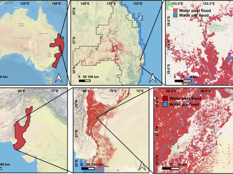
This article discusses the efforts to map and quantify the consequences of a catastrophic flooding event in Pakistan in 2022. A region of interest covering the Indus river basin was split into a grid of square tiles of 2525 km and imagery from Sentinel-2 and Landsat 8 and 9 was used to produce a vectorized flood extent map with pre-flood and post-flood water polygons. A segmentation model was run in all the downloaded images to produce per-pixel maps with three classes: water, cloud, and land. The temporal aggregation was done by obtaining pre-event (permanent) water from the pre-event maps and deriving the post-event product by merging the time series of post-event maps. The complete flood map was obtained by performing a spatial merge over all the tiles.

