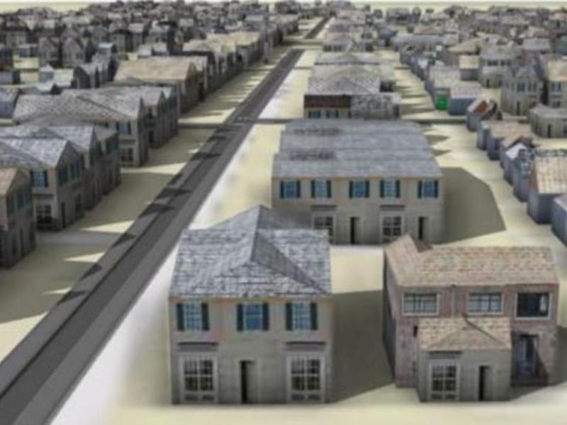
Researchers have developed a method to create 3D digital models of historic neighborhoods using machine learning and historic Sanborn Fire Insurance maps. This will allow people to virtually explore neighborhoods as they appeared decades ago, as well as provide a resource for researchers to conduct studies such as estimating the economic loss caused by the demolition of historic neighborhoods. The Sanborn Fire Insurance Maps Online Checklist is a searchable database of fire insurance maps published by the Sanborn Map Company, which contains complex information expressed through a set of symbols. This new approach to urban historical research enabled by machine learning is a game changer.

