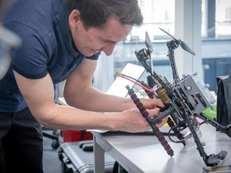
Prof. Stefan Leutenegger is developing a new approach to drones called ‘spatial artificial intelligence’ or spatial AI. This technology will be used for mapping forests, ship inspections, and building walls. Spatial AI is made up of several components, such as computer vision and inertial sensors, which are used to detect the motion of bodies in space and generate 3D images. By combining the data from these sensors, a highly precise image is created, allowing drones to recognize objects and their characteristics, assess distances and hazards, and interact with other people.

