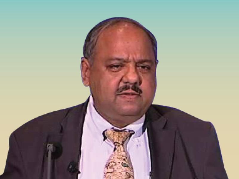
In this article, Nagaraja Rao Harshadeep, Global Lead (Disruptive Technology), Lead Environmental Specialist at the World Bank, discusses the use of geospatial AI and spatial chatbots to make information easily accessible for development. He also highlights the importance of leveraging new technologies such as sensors and drones to gather data and the role of AI/ML in processing and analyzing this data. The article emphasizes the need for national and state-level geospatial agencies to make data easily accessible for development purposes.

