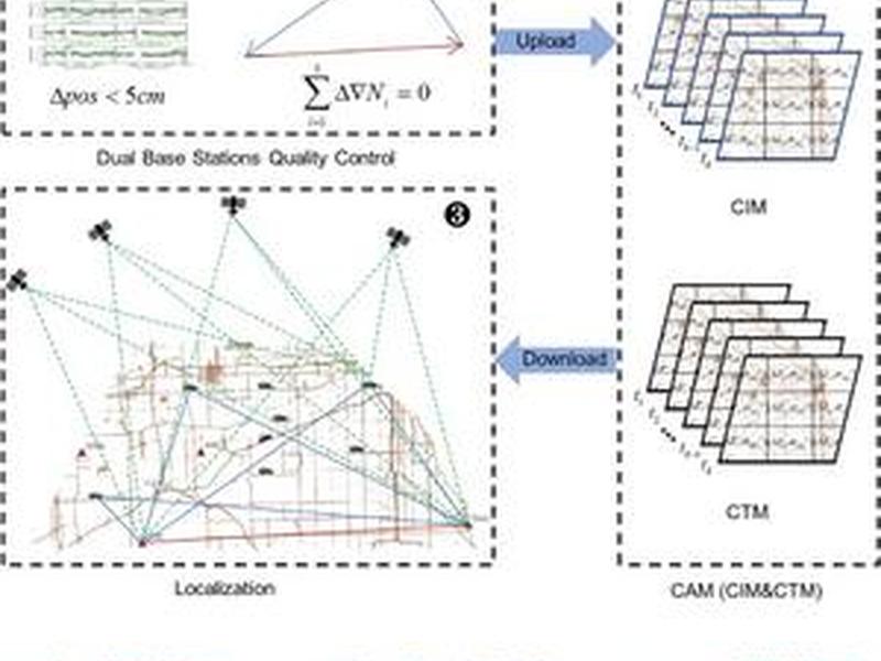
Chinese researchers have developed a new method for enhancing Global Navigation Satellite System (GNSS) accuracy by using real-time, crowd-sourced vehicle data to create high-resolution atmospheric delay correction maps. This method, called Crowdsourced Atmospheric delay correction Maps (CAM), promises to significantly improve GNSS performance and reduce costs for applications such as autonomous driving and Internet of Things (IoT).

