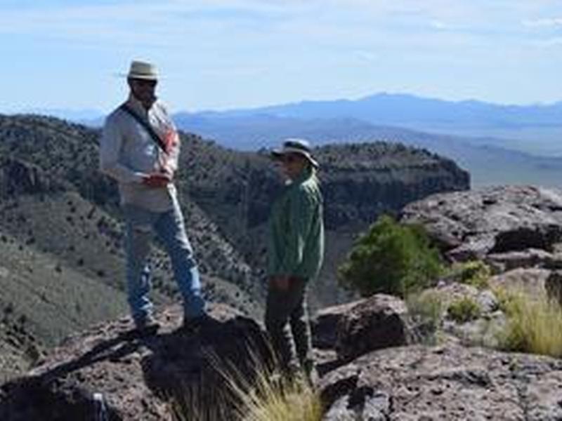
University of Nevada, Reno researchers have developed powerful digital mapping tools that can improve management of rangeland, particularly public lands in the Western United States. The tools use machine learning to create more accurate maps of vegetation patterns, which can help ranchers and federal managers make better decisions about grazing, wildfires, and other disruptions.

